


.webp)

Stay up to Date with the Latest
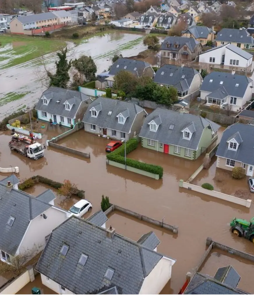
Insurance
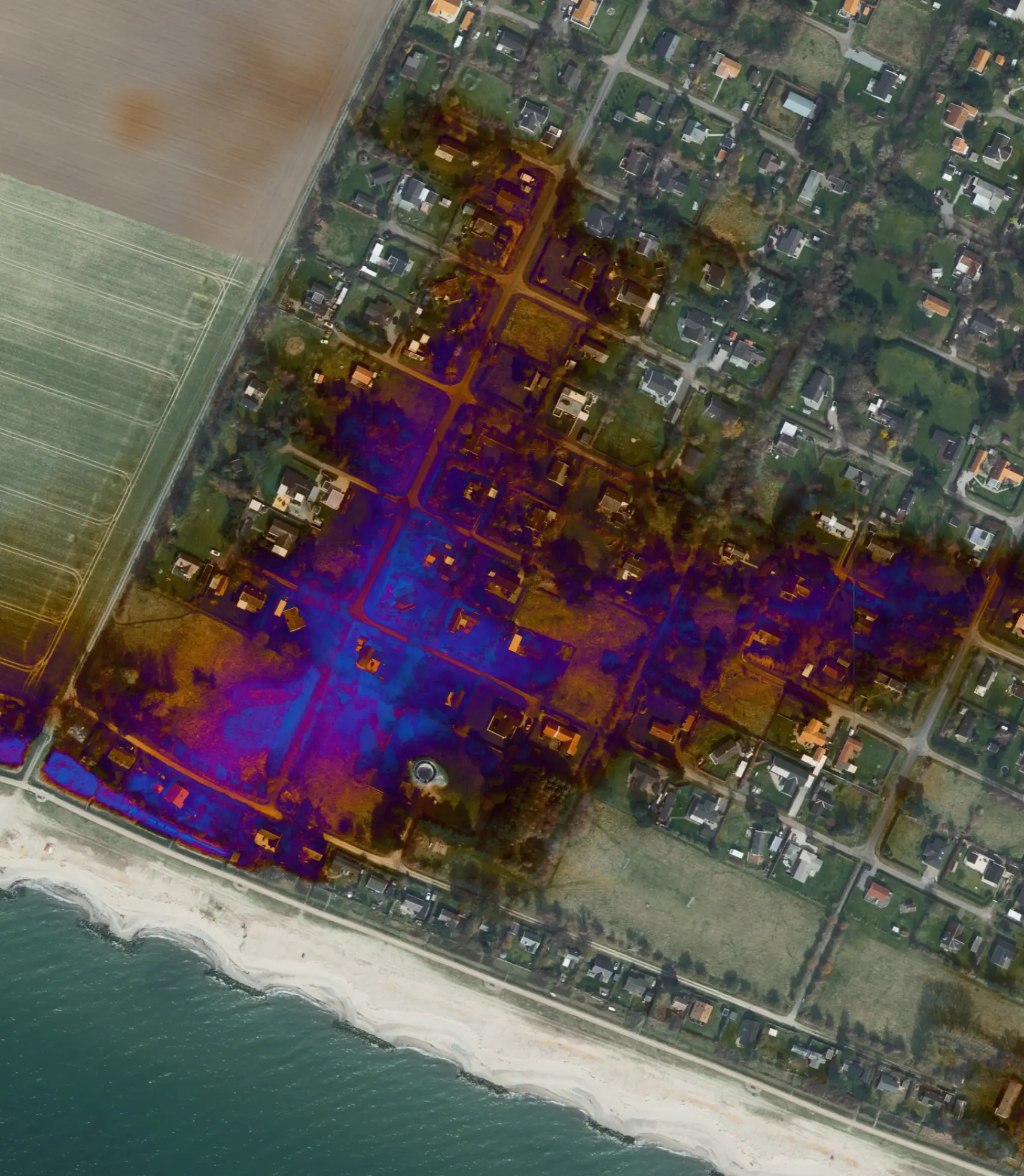
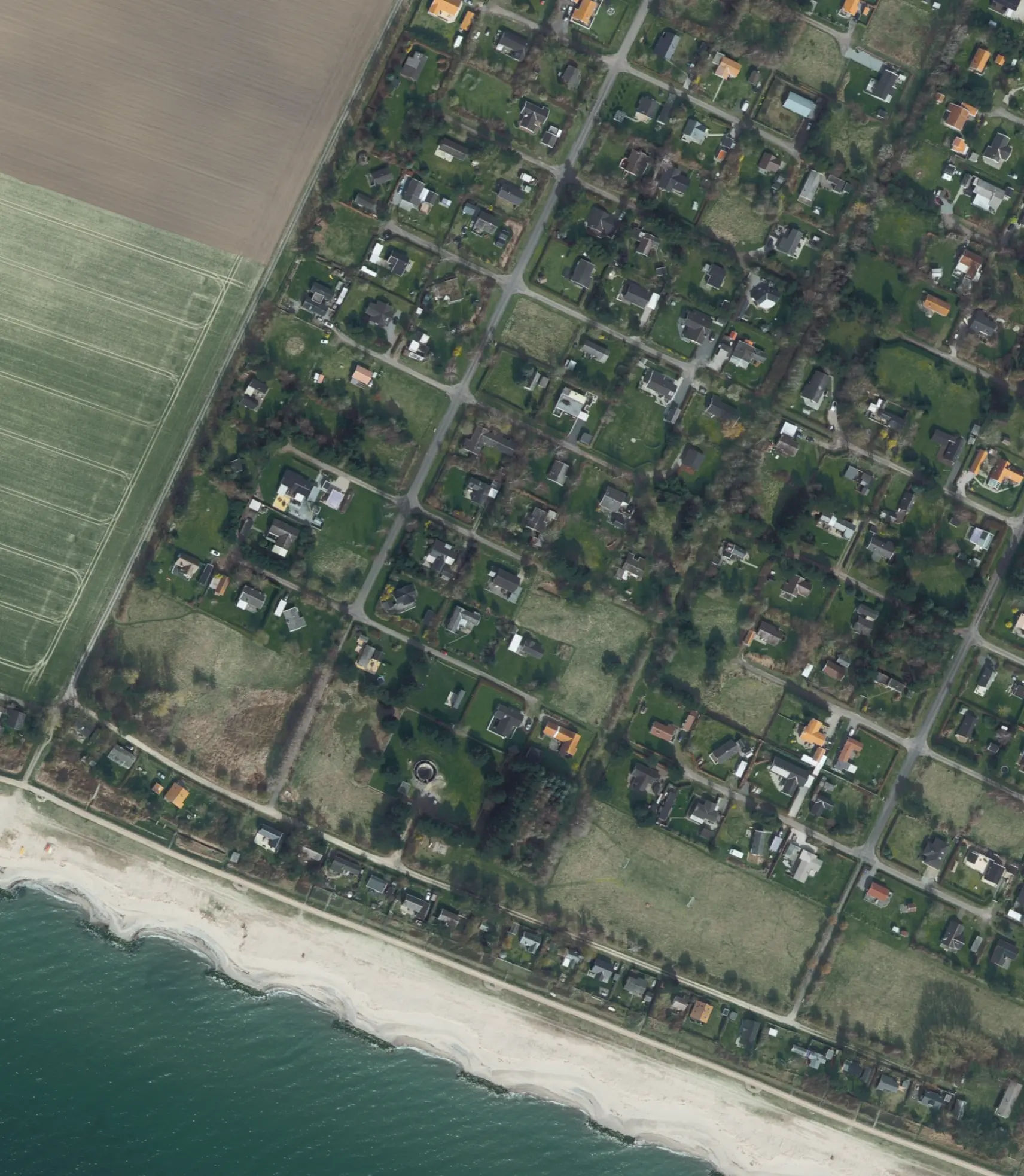
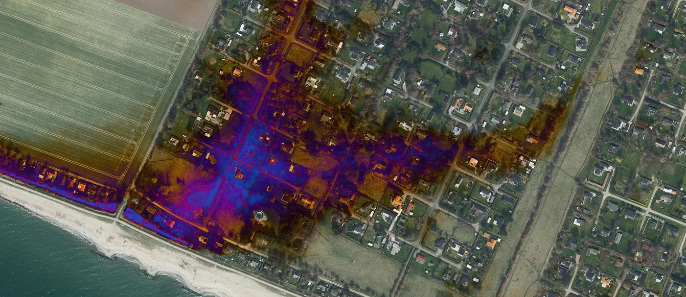
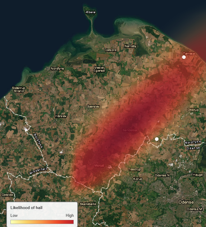
Automating Hail Damage Assessment: From Field Uncertainty to Data-Driven Decisions
Envira Agro
New Funding to Accelerate the Green Transition
Envira secures funding to advance agricultural risk models. We turn satellite data into actionable insights on CO2 and nitrogen leaching.

Award
Agro Risk Wins the EU Big Data from Space Award 2025
Agro Risk wins the EU Big Data from Space Award 2025 for turning satellite data into climate intelligence — empowering banks, insurers, and farmers with actionable insights on climate and agricultural risk.

ESG
The Danish FSA Strengthens Focus on ESG and Climate Risks in Lending
The Danish FSA’s new report highlights that ESG and climate risks are core financial risks, urging banks to adopt data-driven methods for integrating them into credit and risk management—an approach Envira already supports through its practical climate risk frameworks.